
Comprehensive control technology of wind erosion in the northern farmland of Bashang Plateau
-
-
表 1 Give a few answers, and choose up to five
Improve the biological power of the vegetation √ Reduce, prevent, and restore degraded land √ Improve or protect the soil √ Protect or restore ecosystems To maintain / enhance biodiversity Reduce the risk of disasters (e. g. drought, droughts, floods, sandstorms, etc.) Adaptation to climate change and its effects (e. g., enhanced resilience to drought and warming) Mitigating climate change and its impacts (e. g. increased carbon sink capacity) Generduce economic benefits (e. g. increased income) √ Generating social benefits (e. g. reducing the consumption of natural resources and reducing poverty) Other uses (detailed description): …………………………………………………………………  下载: 导出CSV
表 2
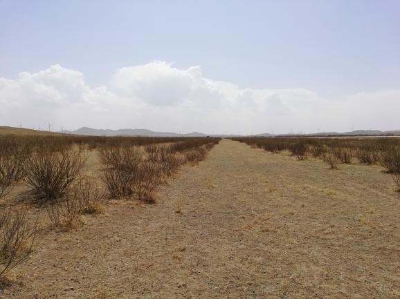
Semi-fixed sand Flow sand Sand grassland Salinized grass Activated wind erosion pit Degradation of woodland √ Adventitious sand cultivated land else
下载: 导出CSV
表 3
climatic province: Middle-temperate continental monsoon climate average annual precipitation /mm 300~400 Annual annual evaporation rate / mm 1800~2000 Annual temperature / ℃ 2.1~4.1 maximum air temperature /℃ 36.5~36.7 minimum air temperature /℃ -37.3~-34.6 Average annual wind speed / m / s 3.2~3.6 Note: Precipitation, evaporation, temperature and wind speed in the table are calculated according to the mean value of national weather stations from 1980 to 2010.
下载: 导出CSV
表 4
To the province County (flag) The township climatic province longitude latitude height /m Hebei Province Kangbao County Tunken town Middle-temperate continental monsoon climate 114.736 41.948 1468
下载: 导出CSV
表 5 Terrain and landform conditions
height landform mean inclination aspect Slope < 100 m level the land √ Flat slope (0-5%) √ adret √ Upper slope 101-500 m
0hillside√ Slow slope (6-15%) √ Schattenseite √ Middle slope 501-1, 000 m Downs slope Slope (16-25%) √ Admito half Yang slope √ Down slope √ 1, 001-1, 500 m hillside fields Sharp slope (26-35%) √ Vacation half Yin slope √ 1, 501-2, 000 m valley bottom 2, 001-2, 500 m sand dune 2501-3, 000 m Flat sand √ Cyane gentle arable land
下载: 导出CSV
表 6 Edaphic condition
agrotype soil texture Effective soil thickness Organic matter content of the topsoil soil hardness Soil gravel content √ aeolian sandy soil √ sandy soil 0-20 cm √High level (> 3%) tall √Less gravel soil (1-5%) √ chestnut soil √ sandy loam √ 20-50 cm √Medium size (1-3%) √ centre √Medium-gravel soil (5-10%) √ calcic brown soil doras √ 50-100 cm √Low (< 1%) √ low Multi-gravel soil (10-30%) √ cinnamon soil clay √ 100-200 cm Light gravel soil (30-50%) saline-alkali soil √ > 200 cm Medium-gravel soil (50-70%) else: Heavy gravel soil (> 70%)
下载: 导出CSV
表 7 Vegetation condition
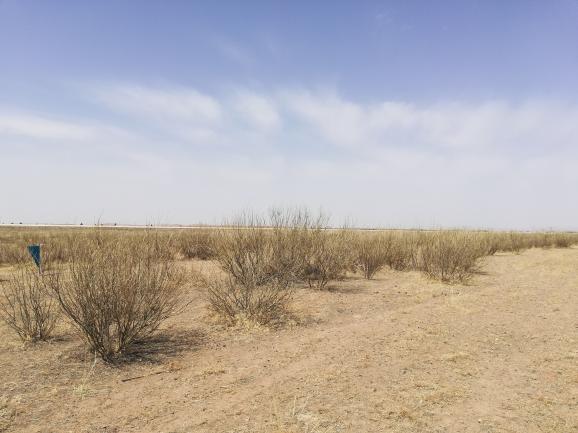
vegetation form Community coverage Vegetation degradation Artificial forest: (what kind of plantation) < 5% Mild degradation Sand vegetation: (what community) 5-15% Moderate degradation Tuft: (What community) 15-25% Heavy degradation Grassland: (what kind of community) 25-40% Artificial forest has dry shoot phenomenon Meadow: (What Community) > 40% The plantation has the death phenomenon √ Others: cultivated land
下载: 导出CSV
表 8 Groundwater condition
The average buried depth √ < 1 m √ 3-5 m √ > 10 m √ 1-3 m √ 5-10 m
下载: 导出CSV
表 9 For specific technologies, please select and fill in the relevant technical information according to the following technical categories.
sport technique segment technical essential Implementation of the season / month 1. Design of farmland shelterbelt Caragana, seabuckthorn, barbary wolfberry purebred forest: 4 rows, row spacing 0.5m×3.0m, forest belt width 10m, forest belt spacing 20~50m. spring 2. Construction and land preparation of farmland shelterbelt 50cm 30cm. spring 3. Farmland shelterbelt seedling requirements Caragana ana, seabuckthorn, barbary wolfberry: 2. spring 4. Farmland shelterbelt planting reforestation Spring, rainy season 5. Care and protection of farmland shelterbelt Ban grazing, prevention and control of pests and diseases. annual 6. Cropling methods The autumn no-tillage Spring Festival Gala is used, and then ploughing after the season of frequent wind erosion in the middle of May. If the frequent wind erosion occurs before the season, the southwest-northeast and north-south ridges should be used, the ridge height should exceed 30cm as far as possible, and the ploughing should not be leveled. spring 7. Crop planting structure To naked oats, wheat and other crops with large hardness, reduce potatoes, beets, vegetables, flax and other crops without or less stubble, put an end to a large area of planting potatoes, vegetables. spring 8. Crop harvesting operations With high stubble harvesting, the stubble height should exceed 30cm. autumn 9. Straw cover straw mulching autumn 10. Other
下载: 导出CSV
表 10
labour cost At the 720 yuan / ha cost of material 801 yuan / ha Water cost (if irrigation is required) 0Yuan / ha total cost RMB 1, 521 yuan / ha
下载: 导出CSV
-