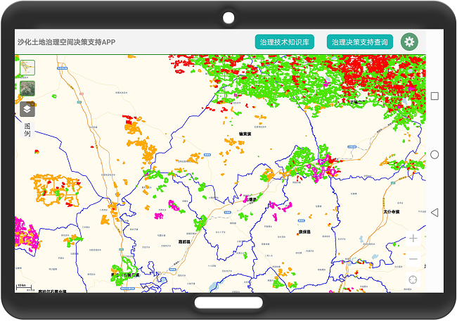
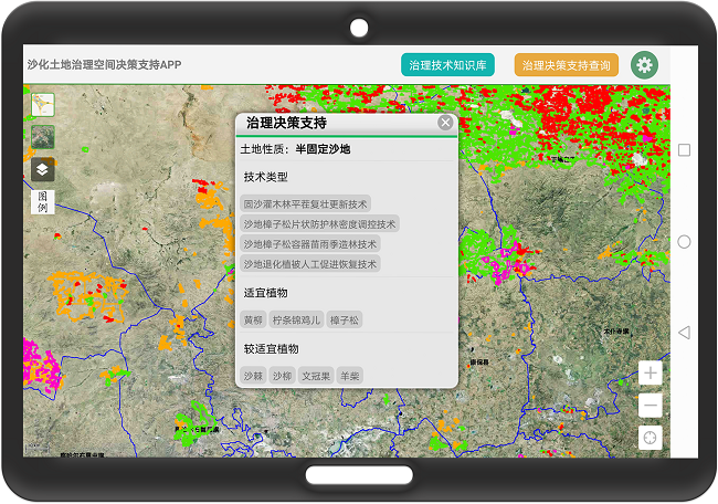
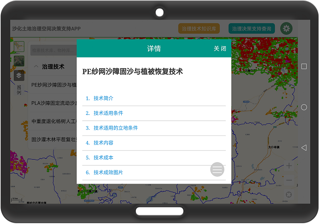
The Sand Desertification Land Management Spatial Decision Support App is a mobile GIS application designed for Android smartphones and tablets. It provides decision support for the management of sand desertification based on location information.
Main Features of the Software:
1. Map Functionality
Map browsing, Location querying, Layer management

2. Sand Desertification Land Management Knowledge Base Search
Search for sand desertification management techniques and suitable plants through lists or fuzzy searches

3. Sand Desertification Land Spatial Information Query
Query sand desertification land types, relevant management techniques, and suitable plants based on spatial location

Please scan the QR code to download the app.
Extraction code: shtd


